Samarkand, and why the city sits exactly where it does
A river, a defensible terrace, and the only practical gap between two mountain systems.
The Silk Route Desk · September 16, 2026 · 1 min read
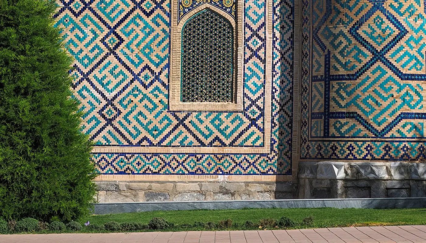
Samarkand has been occupied for well over two millennia through repeated destruction. Cities that get levelled and rebuilt on the same spot are telling you something about geography.
The corridor
Central Asia’s east-west movement is funnelled by mountains — the Tian Shan to the northeast, the Pamir to the southeast. Between them runs the Zarafshan valley, and that is the practical route. Samarkand sits on it.
The river made irrigated agriculture possible, which is what a trade city needs: a surplus close by to feed people who do not farm, plus caravans and animals.
One concrete thing to do
Go to Afrasiab first, in the morning — the mound of the pre-Mongol city, a short ride from the centre and almost empty of visitors. Stand on the terrace and look at the river below.
The Registan makes far more sense afterwards. You will have seen why anyone built here at all, which the restored monuments do not tell you.
The Registan itself
Three madrasas around a public square, heavily restored under the Soviets and again since. The restoration is contentious among historians and spectacular to stand in. Go at opening or at dusk.
Getting there
High-speed train from Tashkent — about two hours, comfortable, and worth booking a few days ahead in season.
When to go
April-May or September-October. Summer is brutally hot; winter is cold and several sites cut their hours.
Conditions noted as of spring 2026.
Newsletter
Your escape plan — Central Asia
Get The Silk Route in your inbox. No spam, and one click to leave.
Twice a month · Unsubscribe any time. We never sell or rent your address; read the privacy policy.